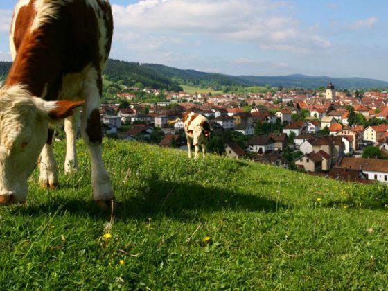


From Pontarlier starts the final climb to cross the Jura mountain. Over a few kilometers, the Via Francigena follows the same direction as the Route of Absinthe linking the comtoise city with Val de Travers, two high places of this drink renowned for its disturbing reputation.
The cluse of Joux is a must on the road to Switzerland. The castle of Joux and the Larmont fort guard this strategic site. Between woods and pastures, the path continues to gain altitude through the wild landscapes of Haut-Doubs to the pass of Jougne (1010 m.). “Petite cité de caractère”, Jougne (56. Antifern) occupies a transitional position between the two slopes of the Jura mountains. Archbishop Sigéric staged there in 990.
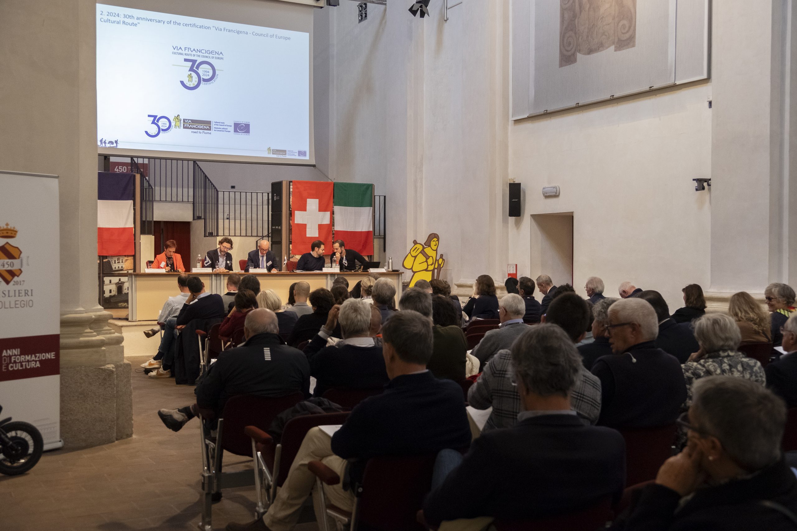
This itinerary follows the first leg of the Swiss route.
Info: this itinerary follows the historical variant from Pontarlier to Jougne of the Franco-Swiss route identified and proposed by AIVF since 2002.