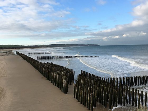


After having crossed Wissant, charming former village of fishermen with their “flobarts”, it’s time to left the coast aside to get into the inner lands.
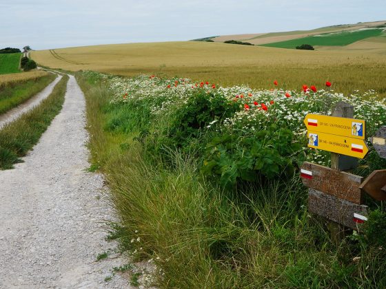
Composed of the Boulonnais hills, they offer a panoramic view over the surroundings and the sea. The old military fortress of Mimoyecques just near hence has been able to take benefits from this topography to hide de entrance of its corridors. This topography, so-named “en boutonnière”, is typical locally.