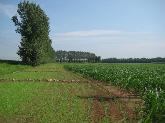
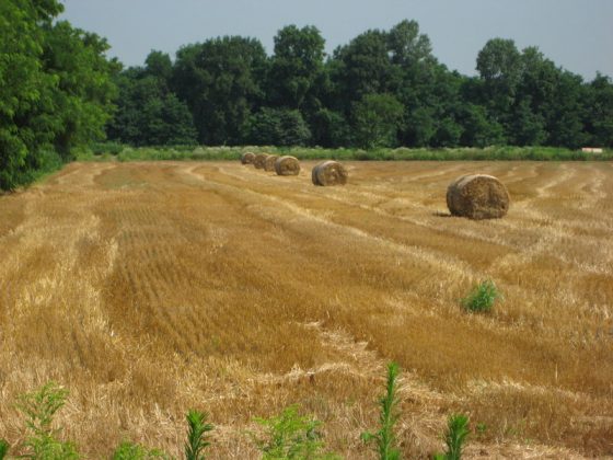


This leg crosses the alluvial plain of the Basso Pavese, where we encounter the characteristic river terraces near S. Lazzaro, Belgioioso, and S. Cristina.
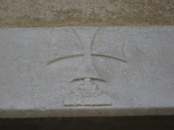
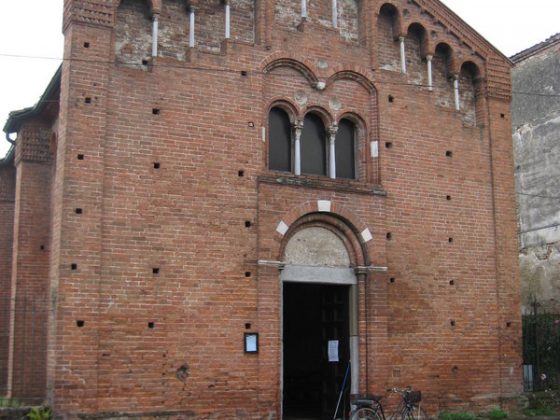
Interesting architectural ruins can be seen along the route, mainly religious buildings: from the majestic façade of S. Michele in Pavia, to the little Church of S. Giacomo. Many parts are along the road verge, but on roads with little traffic; pay attention when crossing the roundabout of the 617 state road. There is no water supply outside populated areas.