

From Camaiore the leg rises up to Monte Magno from where the path follows the SP1, that in some points is pretty dangerous because of the traffic.
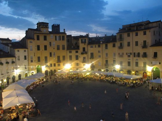
Once raised to Piazzano you will descend the valley of the Contesola creek and, once crossed Serchio River in Ponte San Pietro, you will reach Lucca.
Passable water availability, places to eat and drink in Monte Magno, Valpromaro, San Macario in Piano.
| <<Previous leg | All the legs | Following leg>> |